
State traffic safety agencies say CMT AI platform is transforming crash countermeasure design

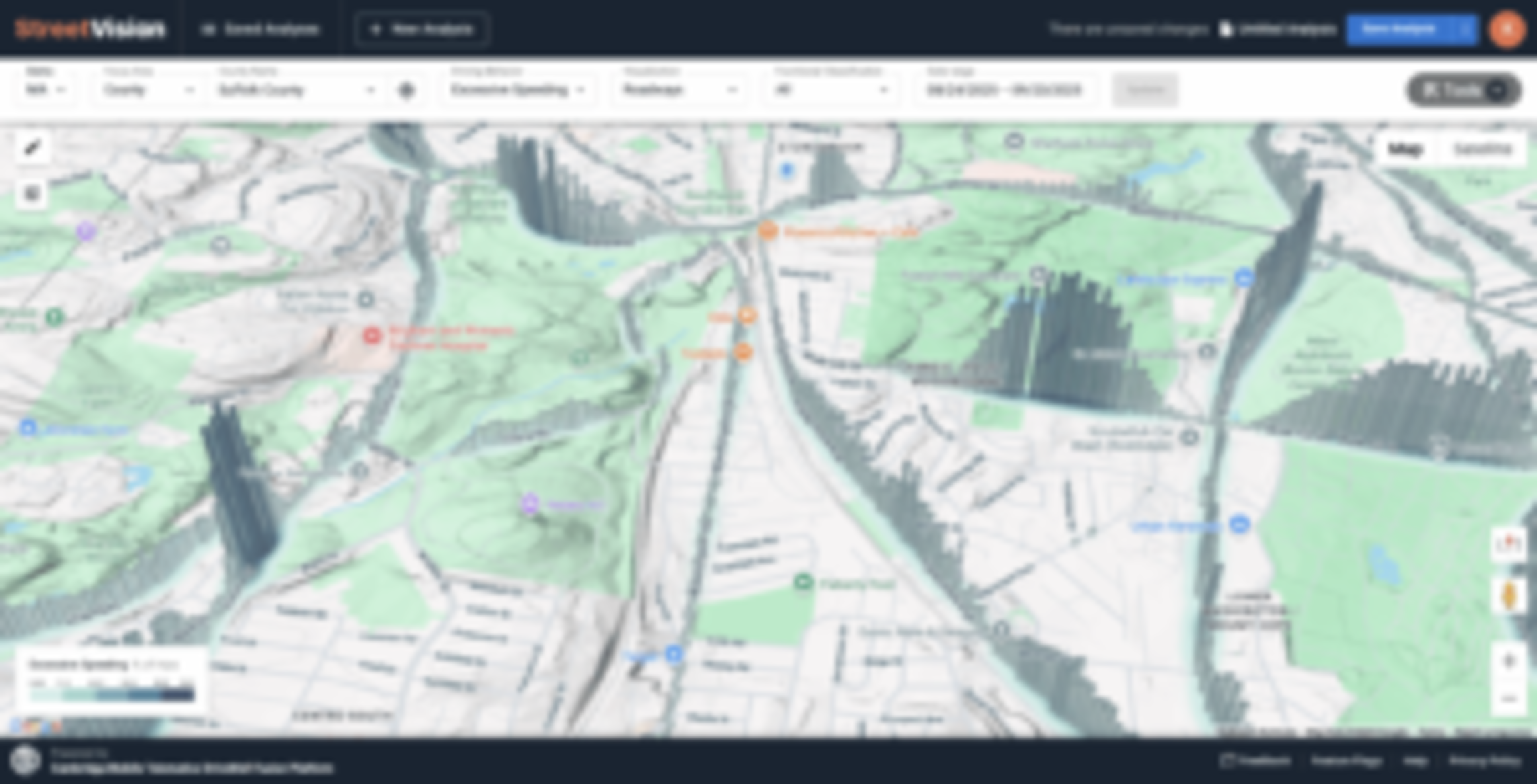
Cambridge Mobile Telematics (CMT) has launched StreetVision, an artificial intelligence (AI) platform that identifies road risk, makes roads safer, and assesses the impact of countermeasures with advanced analytics, according to a press release from the company.
CMT says StreetVision helps transportation safety officials visualize and predict where crashes are most likely to occur, prioritize countermeasures, and rapidly assess results through an intuitive roadway safety dashboard.
“Safer roads save lives, strengthen communities, and power local economies. This is the mission we are advancing with StreetVision,” said William V. Powers, CMT’s CEO and co-founder, in the release. “For over 15 years, CMT has worked with our partners to help people drive safer, preventing more than 100,000 crashes.
“Now, with StreetVision, we’re bringing that same innovation to the entire road-safety ecosystem, from infrastructure to policy to safety initiatives to education campaigns. This is the next evolution of road safety: using mobility insights to transform how societies invest in road safety so every community can reduce risks, accelerate improvements, and build safer systems from the ground up, preventing the next crash from happening.”
CMT notes that the National Highway Traffic Safety Administration (NHTSA) estimates more than 200,000 people have died since 2020 on U.S. roads. In 2021 alone, distraction was linked to 12,405 deaths — 28% of all traffic fatalities, the release says. NHTSA also reports that crashes cost the U.S. economy $340 billion in 2019, with 4.5 million people seriously injured.
“As state and city transportation agencies work to make roads safer, they face limitations in the data they use to make decisions,” CMT says. “Historical crash reports and periodic observational surveys can lag real-world conditions, undercount risky behaviors, and fail to show corridor-level trends. The Federal Highway Administration (FHWA) has recognized these challenges and has encouraged states and local agencies to use advanced technologies to plan and build safer, more cost-effective roadways.”

StreetVision’s street-level visualization and analytics of risk across every roadway classification enable risk insights that have never been available before, the release says. It is built on anonymized and aggregated driving behavior data gathered from CMT’s opt-in mobility safety network.
“Just like DUI was in the past, distracted driving is under-reported,” said Jim Markham, Texas Department of Transportation Traffic Safety Division/crash data and analysis section director, in the release. “Now with StreetVision, we can measure risky driving across Texas communities every day. By getting us upstream of crashes — finding risks before they show up in crash reports — we can take action before the next crash happens.”
Karson James, Wyoming Department of Transportation highway safety behavioral grants program manager, added, “With StreetVision, we now have analytics we never had before to measure risk on dangerous roadways and in work zones. The platform has helped us identify speeding hotspots and position more effective countermeasures, giving us faster, clearer insights to act before crashes happen.”
According to Staci Hoff, the Washington Traffic Safety Commission’s research director, StreetVision provides superior coverage and accuracy of distraction analytics compared to roadside observation surveys.
“We’re also able to use it for speed analytics without deploying trailers or installing sensors, which expands our reach while reducing costs,” she said. “And with daily insights, we can measure the impact of countermeasures, like speed cameras in school zones, almost immediately.”
StreetVision is being applied to:
-
- “Measure patterns of risk: Analyze distraction, speeding, and aggressive driving trends across cities, counties, and other areas, and see how they change week to week or year to year. Agencies can also measure risks in sensitive areas like school zones, work zones, and pedestrian corridors.
- “Identify the riskiest locations: Highlight corridors, intersections, and blind spots where risky driving is likely — even if crashes haven’t yet occurred. StreetVision flags hotspots near schools, hospitals, malls, and highway off-ramps where vulnerable road users face the most danger.
- “Plan and implement countermeasures: Screen entire networks to determine which locations need attention, evaluate options such as new signals, signage, or lane markings, and monitor safety in active work zones and detours.
- “Prove impact and support funding: Run before-and-after analyses to measure the effect of countermeasures, laws, or campaigns. Get the road risk evidence needed to secure Highway Safety Improvement Program (HSIP), Safe Streets and Roads for All (SS4A), or NHTSA grants, and to build stronger cases for countermeasures.”

StreetVision is available for state and city departments of transportation, Highway Safety Offices, Metropolitan Planning Organizations, and architecture engineering firms.
Images
All images of StreetVision provided by CMT.